When I was little, growing up off old Covina Hills Road, I used to wonder about its past. So many things around it seemed ancient, like from cowboy days. Maybe it had been a stagecoach road, or a covered wagon trail, but no one could tell me anything that satisfied my imagination. A lifetime would pass before I was able to discover the road's forgotten story myself.

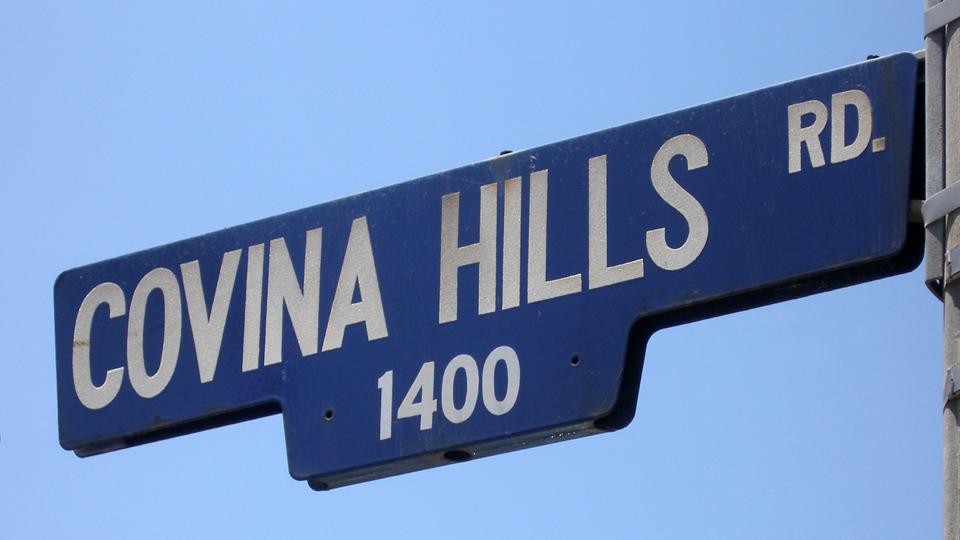
Corner of CHR and Via Verde, San Dimas, June 26, 2010. Photo © J Scott Shannon.
Although the precise year of its origin is undocumented, Covina Hills Road most likely came into being around the time Covina itself was founded in 1885. The gradual slope down from the corner of Rowland and Grand Avenues would have been a natural location for an access road to the 3,438-acre Hollenbeck Ranch1 southeast of town, and to Walnut Creek and its tributaries beyond.

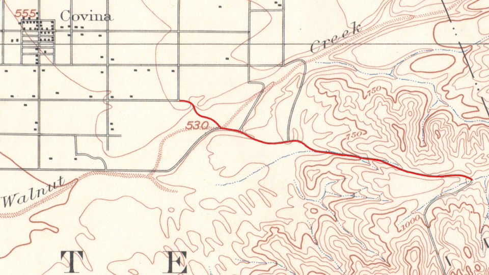
On this topographical map from 1894, the Hollenbeck Ranch road (red) already extended as far east as today's Via Verde.
In 1894, a committee of the Pomona Board of Trade together with officials and supervisors of Los Angeles County recommended creation of a road over the San Jose Hills to give Pomona a more direct route to the San Gabriel Valley and points west.2 At the time, travelers from Pomona had to go around the north end of the San Jose Hills then west via Lordsburg (La Verne) and San Dimas to get to Covina. If they could cross over the hills instead, it would take five miles off the trip,3 which in the days before automobiles could mean an hour of time saved.
The route as surveyed in the summer of 1895 passed through the Phillips Ranch4 on the east over what we now call Kellogg Hill, then through former Hollenbeck Ranch lands on the Covina side.3 After the rights-of-way were obtained and obstacles to construction overcome, work on the Pomona & Covina Road was completed in four months in early 1896 for a total cost of $1,100.5

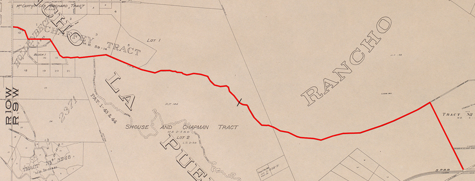
The original as-built alignment of the Pomona & Covina Road (red). Since 1933, the road has ended at the point indicated by the black slash.